The population is urged to stay informed about the weather conditions through the internet pages www.gob.mx/conagua and https://smn.conagua.gob.mx, on the Twitter accounts @conagua_mx and @conagua_clima, and Facebook www.facebook.com/conaguamx, as well as on the mobile application ConaguaClima, where you can consult the forecast by the municipality
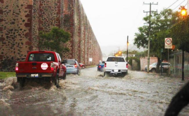
The National Meteorological Service (SMN) and the National Water Commission (CONAGUA), reported that Hurricane Enrique will cause very heavy spot rains in the state, in which 5 to 25 millimeters of water will accumulate.
Likewise, the agencies predicted that in most of the states in which conditions derived from the phenomenon will occur, there will also be electric shocks and hail fall, for which Queretaro is also contemplated.
The conditions described will be generated by Tropical Wave Number 6, which will continue to approach slowly south of the Yucatan Peninsula, low pressure channels extended in the interior of the country, upper atmospheric instability and a frontal system over the north of the country.
Hurricane Enrique remains a Category 1 on the Saffir-Simpson scale. Its center was located approximately 85 kilometers (kM) southwest of Playa Pérula, Jalisco, and 155 km west of Cabo Corrientes, Jalisco, with maximum sustained winds of 150 kilometers per hour (km/h), gusts of 185 km/h and displacement north at 11 km/h.
According to forecasts, over the course of today’s afternoon, Sunday, and early morning, Monday, the center of the tropical cyclone is expected to have its maximum proximity to the coast of Jalisco.
The Queretaro Post


